INSIDE GeoLaB - Probing the Subsurface!
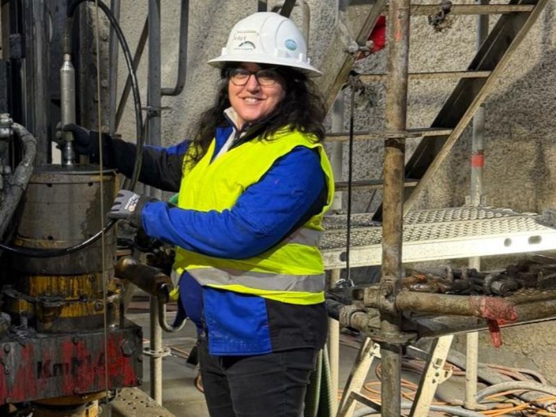
Dr. Simona Pierdominici on site © Simona Pierdominici
Dr. Simona Pierdominici is a geologist and geophysicist at the Helmholtz Centre for Geosciences (GFZ). Her work focuses on subsurface processes, and she also analyzes the physical properties of rocks. Simona has gained extensive experience in international drilling and research projects. Within GeoLaB, she analyzes and interprets the borehole (or downhole logging) measurement data from the two exploratory boreholes on the Tromm.
Borehole depth profiles: a telescope into the Earth?
Boreholes offer the opportunity to directly investigate rock deep beneath the earth’s surface. To determine its physical properties, we use highly sensitive, specialized probes (downhole logging tools). These are lowered into the borehole on a long logging cable. The cable is multifunctional: it guides the probe and transmits the recorded data in real time to a computer at the surface. From these measurements, the software generates depth profiles, which I then analyze and visualize in detail. I’ve been doing this for many years, yet I am still amazed by the millimeter-scale precision of the data. It really is like looking through a telescope – not into the sky, but deep into the earth.
How did you survey the subsurface at the Tromm site?
For the measurements in the two GeoLaB exploratory boreholes, we used eleven different probes for borehole logging. Each probe measures a specific physical property of the rock. The logging was carried out together with our service provider Terratec. For example, we used a gamma-ray probe to measure the rock’s natural radioactivity, while another probe was used to determine its magnetic properties. Terratec also operates a probe that is not available at GFZ, which can be used, among other things, to determine the rock’s density.
Do you compare the borehole measurements with the drill cores?
Whenever a drill core was retrieved, we scanned it immediately on site. In the borehole, we used televiewers to acquire circumferential acoustic and optical images of the borehole wall. The geographic orientation of these images is well defined: it is always referenced to magnetic north, as the probe is equipped with a magnetometer. I can then compare both datasets – the core scans and the borehole wall images. Using specialized software, I rotate the unoriented core scans until the geological structures match those in the televiewer images. This allows us to determine the original orientation of the drill core in the subsurface. This is crucial for our research, as it enables us to determine the precise orientation of fractures, veins, and mineral fabrics.
What have the data analyses shown so far?
The data provide a very clear picture of the internal structure of the rock. Distinct anomalies at around 410 meters depth mark the transition from granite to metamorphic rock such as gneiss. Granite and gneiss not only look different, but also have different geophysical properties – and this is clearly reflected in our depth profiles. Borehole logging therefore provides further evidence of the change in rock type while also helping to characterize the differing properties.
Can you also identify fractures in the subsurface?
Borehole logs are actually very well suited for identifying and characterizing fractures. In total, I identified 1,687 individual rock structures, which can be grouped into several categories. These include small, closed fractures and larger, open structures. “Large,” of course, is relative – we are talking about fractures on the millimeter scale. However, even at this scale, open fractures can carry water. They act as flow pathways and increase the permeability of the rock. We were able to identify around 50 open fractures – exactly what we had hoped for!