Next steps
The GeoLaB project is divided into several project phases: with the decision on geological suitability, the site exploration phase is completed, followed by the planning and approval phase. Provided that approval is granted, this is followed by tunnel construction and a test operation phase, before the actual research operation is planned.
Planing and Permitting Phase
The exploratory phase has shown that the Tromm area is a suitable research site. However, a specific location has not yet been determined. Now, concrete planning for the rock laboratory is beginning, followed by an extensive permitting process. The parties involved are seeking a specific location for the access tunnel and planning the surface and underground infrastructure, tailored to local conditions. The GeoLaB team is designing all structures to minimize impacts on people and the environment. The large-scale monitoring program already underway to protect drinking water and groundwater will continue.
To this end, they are conducting further exploratory drilling and geophysical surveys. Information on these will be published here. Extensive permits are required. The permitting process is a multi-stage procedure under the Federal Mining Act (BbergG). Reviews and approvals are carried out by the Hessian Mining Authority.
Geophysics
In July and August 2026, geophysical surveys were carried out in the Tromm area, as was already the case in November 2025. Specifically, these surveys included electrical resistivity surveys and gravimetry.
Electrical resistivity surveys are used to determine the electrical resistance or conductivity of the subsurface. These data provide a more detailed picture of the geological structures beneath the surface. For the surveys, several long cable lines were installed: electrodes were placed every 10 meters along approximately 18 kilometers of survey lines, and every 20 meters along a further 3.8 kilometers.
Gravimetric surveys provide information about the density distribution within the subsurface. Portable instruments were used to collect measurements at approximately 1,000 individual survey points.
These investigations add to the results of the first two survey campaigns. During those campaigns, the research team gained an initial understanding of the subsurface and identified geological and hydrogeological structures. In the following survey campaign, these structures were examined in greater detail through a higher density of measurement points.
Exploration Phase (until April 2026)
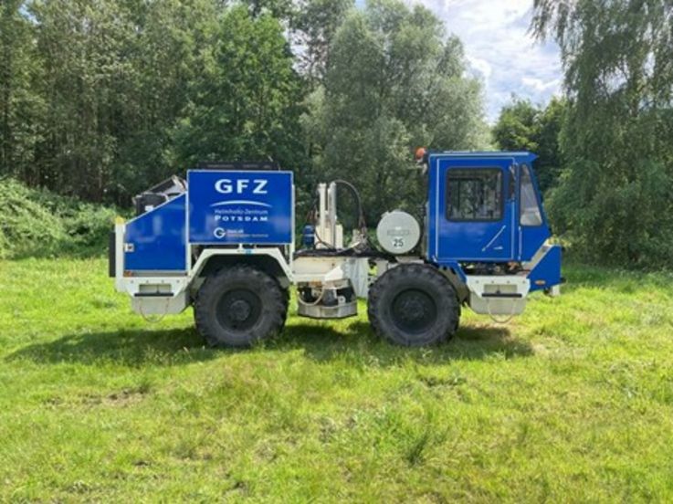
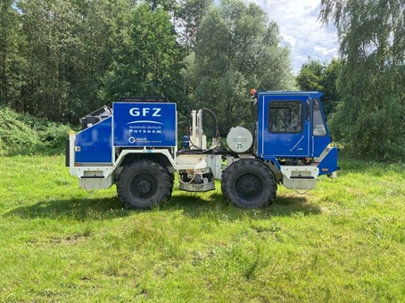
Seismic truck in operation on the Tromm. © GFZ
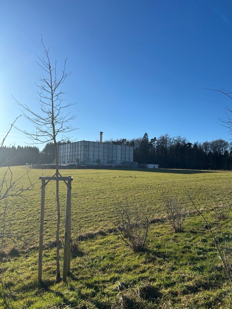
Drilling site with sound barrier on the Tromm. © KIT
In the exploration phase, scientists or specialist companies commissioned by them conducted investigations in 2024 and 2025 in the areas of Wald-Michelbach, Grasellenbach and Rimbach. The goal was to answer the question: Is the area around the Tromm actually geologically suitable for the research laboratory? The results of all investigations have been summarized in a scientific site report. With the decision on geological suitability, the exploration phase has been completed.
Various investigations have been carried out and are planned, the approval of which will be applied for at the Hessian Mining Authority:
» Hydrological monitoring: Sampling and other measuring points relating to water for hydrogeological and hydrochemical data collection.
» Seismic monitoring: Passive monitoring of ground vibrations through seismometer measuring points.
» Seismics: Investigating the subsurface using sound waves generated by vibrations.
» Geophysical measurements: Additional surveys to determine, for example, the electrical and magnetic properties of the subsurface.
» Exploratory drilling: Drilling from the Tromm into greater depths to study the geological layers in more detail.